Cycling fans will be pleased to know that Singapore has a large interlinking network of park connectors (PCN or Park Connector Network), mostly flat, which run along roads, rivers and canals.
For those looking for thrilling off-road adventures, there are a couple of mountain biking trails that will put your riding skills to the test.
Explore these cycling trails and routes, and discover Singapore’s great outdoors and major parks.
For Families
• Bedok Reservoir Park
Located in the north of Bedok New Town in the eastern part of Singapore, the park is popular among joggers and water sports enthusiasts. A converted sand quarry, the park surrounds the 88-hectare Bedok Reservoir. Look out for dragon boaters and canoeists in the reservoir.
• Bishan-Ang Mo Kio Park
One of the largest urban parks in central Singapore, the park has a river flanked by wildflowers along its banks. Trails are connected by bridges over the river. If you’re lucky, you might even spot an otter or two frolicking in the water.
• Coney Island Park

Photo: Singapore Tourism Board
Ride through the island along the 2.5km Coney Island Park Connector while enjoying the promenade view of the Serangoon Reservoir. The park houses a wide variety of habitats including coastal forests, grasslands, mangroves and casuarina woodlands. It is home to a wide variety of fauna and flora, some of which are critically endangered.
• East Coast Park
• Pasir Ris Park
• Pulau Ubin
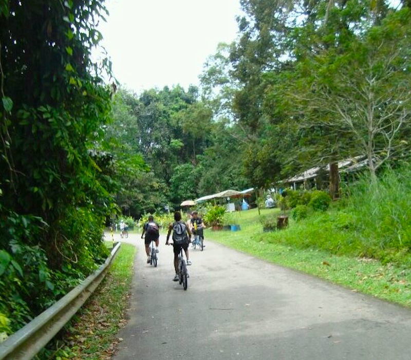
Photo: Abdul Rashid
• West Coast Park
The West Coast Park Connector links Pandan Reservoir and Pandan Reservoir Fitness Corner with West Coast Park, and leads to Clementi Woods Park. Relatively flat and smooth, this route connects Pandan Gardens estate to the West Coast estate. Look out for eagles soaring in the skies above this stretch.
For City & Sunset Views
• Kallang River & Marina Bay
For Nature Lovers
• Bedok Reservoir to Tampines Park Connector to Pasir Ris Park to Changi Tree Conservation Area
• Coast-to-Coast (C2C) Trail
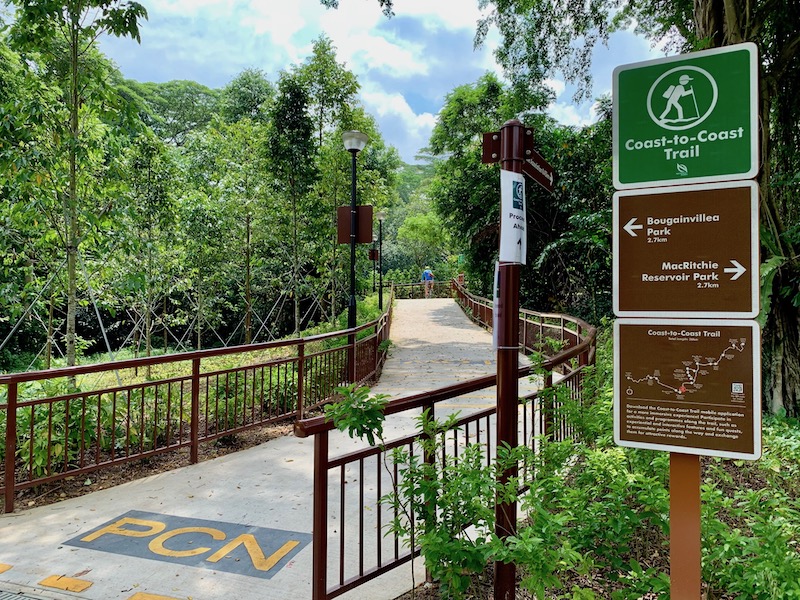
Photo: CL
Nature lovers can cycle all the way from Jurong Lake Gardens in the west to Coney Island Park in the northeast on this 36km trail. The trail covers a total of 10 checkpoints that will take you through 18 parks and nature areas, plus 11 park connectors. The trail has an online guide and an Augmented Reality app to help you discover parks, park connectors, nature areas, places of interest and local flora and fauna along the trail. At the 10 checkpoints, scan the animal characters on them with the Augmented Reality setting in the app and watch them come to life on your phone.
• Choa Chu Kang Park to Bukit Batok Nature Park
• Punggol Coastline and Rivers
• Lower Seletar to Woodlands Waterfront
For Foodies
• Eastern Coastal Loop (Pasir Ris to Changi Village)
• Changi Village to Joo Chiat/Katong
For Off-The-Beaten Exploration
• Khatib Loop –history and culture
• Kranji Road to Lim Chu Kang Road – Singapore farms
For Riverside Views
• Around Kallang River
• Punggol’s Northern Eastern Riverine Loop
For Mountain Bikers
• Bukit Timah MTB Trail
• Chestnut Nature Park
• Kent Ridge MTB Trail
• Ketam MTB Trail
• Track 15


